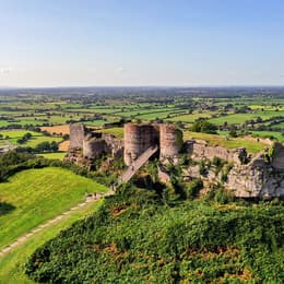
Explore the Countryside
Walking Routes
From Gentle Strolls to Rugged Trails
Explore the stunning scenery and wildlife of the region by walking in Cheshire, with hundreds of walks to suit all ages and abilities, there has never been a better time to enjoy breath-taking views, wild moorlands and rocky ridges.
Introduce the family to the joys of walking, with a hike up to White Nancy; the iconic Grade II listed folly that dominates the Cheshire Plain. Let imaginations run wild with a walk through the legend filled woods of Alderley Edge to Stormy Point, the setting for Alan Garner's novel The Weirdstone of Brisingamen.
If you are feeling energetic then stride out along the Griststone Trail, a 35 miles route that stretches from Disley to Kidsgrove or the Sandstone Trail, one of the most popular long distance walks in the North West.
If you are looking for something a little less energetic, take a leisurely stroll around one of the many towns and villages that Cheshire has to offer.
Top 10 Cheshire Walks
- The Sandstone Trail - Grade: Long distance, Distance: 18km/11 ¼ miles, Time: 5-6 hours
- The Gritstone Trail - Grade: Long distance, 35 mile / 56 km trail.
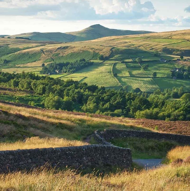
- Shutlingsloe Walk - Grade: Challenging, Distance: 10km/6.5 miles, Time: 3-4 hours
- Bosley Cloud - Grade: Challenging, Distance: 4 km / 2 ½ mile, Time; 1 ½ - 2 hours
- The Whitegate Way - Stretching for six miles (10km) from the heart of Winsford to Cuddington, the route offers easy walking for all ages along a varied route.
- Marbury Country Walk - Grade: Easy, Distance: 4 km/ 2.5 miles, Time: 1 - 2 hours
- The Edge - Alderley Edge - Distance: 1.6km (1mile) circular route. Time: 45 minutes to 1 hour.
- The Wirral Way - A 12.2-mile traffic-free path, formerly a railway line, that runs along the Wirral Peninsula from West Kirby to Hooton, offering scenic views and opportunities for walking, cycling, and exploring Wirral Country Park.
- Anderton Nature Park - Anderton Nature Park provides a haven for wildlife on restored industrial land adjacent to the historic Victorian boat lift and near to Northwich town centre.
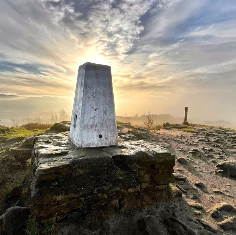
- Teggs Nose - Grade: Easy walking, Distance: 2.75km / 1 mile circular walk, Time: 30 minutes – 1 hour, plus stops to admire the views
Walking Trails

Fetching your results
This should only take a few moments...
25 Miles
3 Miles

4 Miles
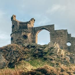
3.75 Miles

9 Miles

2 Miles
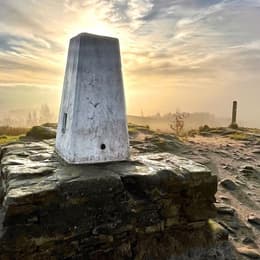
2.5 Miles

5 Miles

