See & Do |
Museums
National Waterways Museum


National Waterways Museum
Enjoy a day out by the canal in Cheshire, where time slows down and history comes to life. Designed by the great civil engineer Thomas Telford, the docks at Ellesmere Port were still in use as late as the 1950s. They are a marvellously self-contained world and when you visit the museum today you can still walk around its locks, docks and warehouses and visit its forge, stables and workers cottages.
There's so much to explore from the handsome Victorian buildings, which house the museum's fascinating displays, to the locks and moorings, home to colourful historic and visiting narrow boats. With world-class attractions and a year-round events calendar featuring everything from beer festivals to historic boat rallies, there's always a reason to visit. It is family-friendly with an outdoor playground for the children. Friendly dogs are always welcome and we ask that they be kept on a lead at all times. Admission is through a day ticket or an Annual Pass which allows you to return as many times as you like for a year including most Event Days too.
Our Accessibility Criteria
Our Sustainability Criteria
Content from around the site
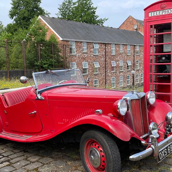
Vintage Vehicles
Dates: 29th Jun - 29th Jun 2025
A vintage vehicles display where you’ll see cars and motorcycles dating from the 1920s up to the early 1990s on show across the site.
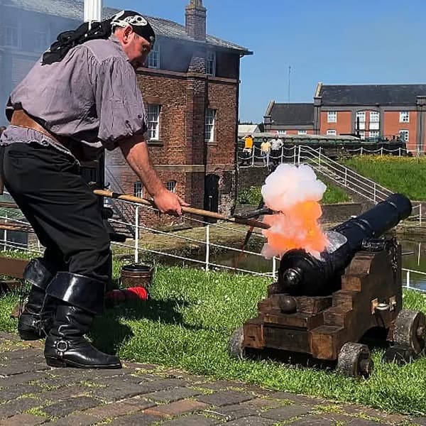
Mutiny at the Port: Pirate Weekender
Dates: 7th Jun - 8th Jun 2025
Ayy...the Conwy Pirates have landed – so drop your anchor at our Port and join us for pirate shenanigans, tug-o-wars, cannon and pistol displays.
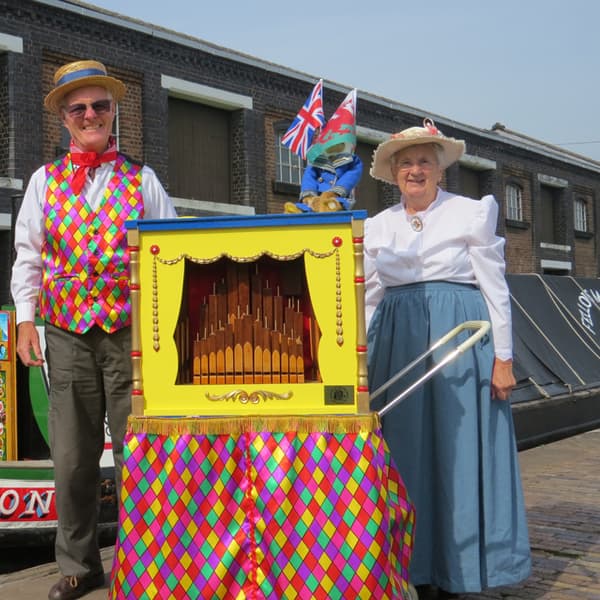
British Organ Grinders
Dates: 2nd Aug - 3rd Aug 2025
We are pleased to welcome the British Organ Grinders Association to the museum for their regular gathering.
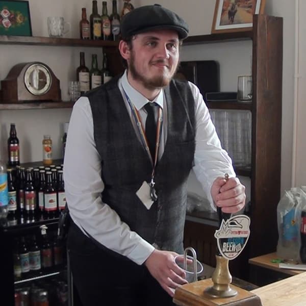
Beer and Craft Festival
Dates: 13th Jul - 13th Jul 2025
Join us for a beer and BBQ when some local breweries will be show-casing their beers and local crafters will be displaying their wares for you to buy.
Businesses close to National Waterways Museum
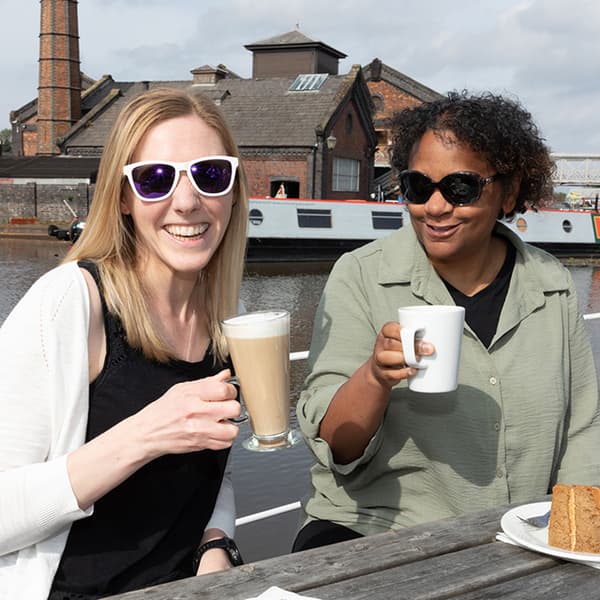
Waterside Cafe
A wonderful setting for something to eat and drink, with plenty of seating on the waterside terrace, in the cafe or if you'd like to enjoy the sunshine, there are picnic areas too.
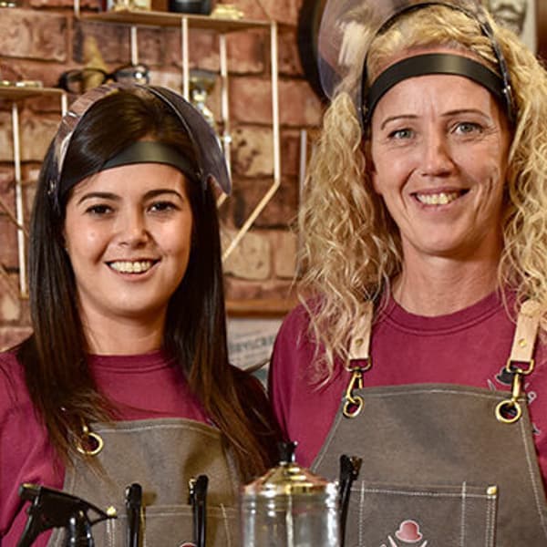
Chaps Barbers
Margi & Lisa have 20 years barber experience between them.
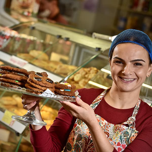
Cristinas Bakery
The Bakery offering freshly baked goods to include delicious variety of scones and cookies.
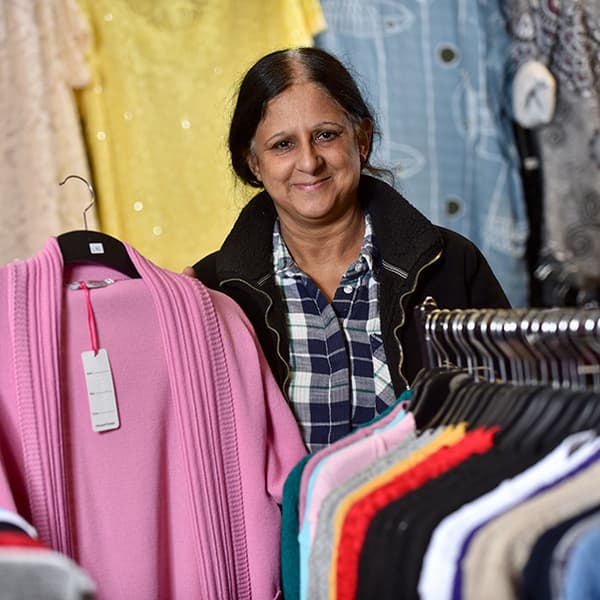
Deep Collection
Welcome to a ladies clothes shop that specialises in mature traditional fashions